Technical Tour for Survey Department
Dear International Colleagues,
Sri Lanka Survey department (SD) is the National Mapping Agency of the country. And it is the oldest department established on 2nd day of August 1800.
Date : 18 th November 2024 from 13.30 hrs onwards
| During the visit to SD, participants will have a valuable opportunity to aware of | |
|---|---|
| Activities of SD | |
| Use of Modern Technology by SD | |
| Methods of Spatial Data Capturing and Storing by SD | |
| Production | |
Limited Participant Available. Reserve Yours Today |
|
Other Information
- Maximum no of participants: 35, for registration use acrscmb2024@gmail.com
- Participants will be given an opportunity to register at registration desk if and only if max. no of participants not exceed.
- Transport will be provided from Monarch Imperial Hotel to SD and return.
- Pick time at main gate of Monarch Imperial Hotel is 13.30 hrs.
Some of The Highlights of The Tour
Air Survey Branch
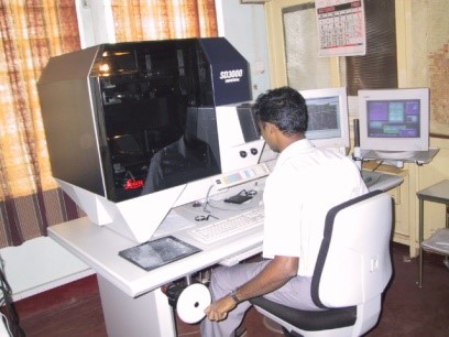
Air Survey Branch has transitioned from using analog instruments to advanced digital photogrammetric workstations and LiDAR technology, and providing high-resolution geospatial data for development projects. Its main focus is on extracting data for the 1:10,000 topographic database.
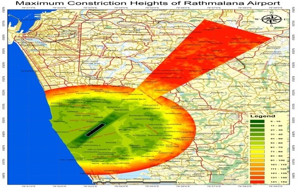
Center of Remote Sensing
Center of Remote Sensing is responsible for evaluating and processing satellite images analyzing topographical data, and supporting remote sensing applications. Ongoing activities include updating topographical databases with high-resolution images and creating a DEM for entire country.
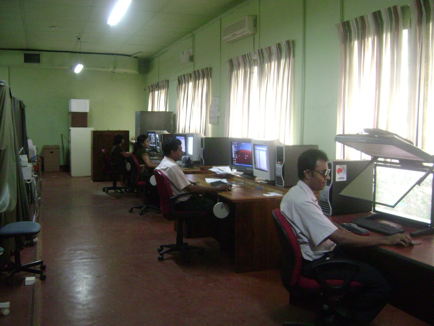
Geographic Information System (GIS) Branch
Geographic Information System (GIS) Branch processes updated 1:10,000 geodatabases from the Center of Remote Sensing and Photogrammetry branches by enhancing them with geoname data, organizing them into seamless 1:50,000 tile-wise segments, verifying data integration, and archiving the finalized databases with metadata for future reference.
Land Information System (LIS)
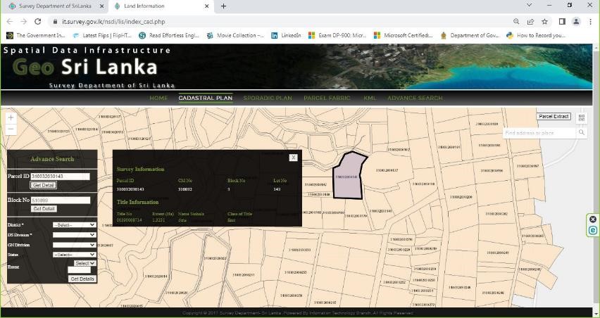
Land Information System (LIS) that stores both digital and paper-based data for millions of land parcels, providing essential web-based services that support land management, property registration, urban planning, and transparent decision-making across the country.
The Mapping Branch
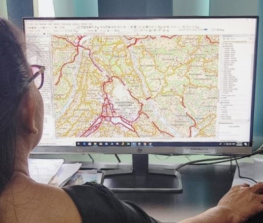
The Mapping Branch produces detailed topographical maps at scales of 1:50,000 and 1:10,000, covering Sri Lanka with a comprehensive range of sheets, and creates thematic maps on topics like geology and Population as well as custom maps for government and public.