


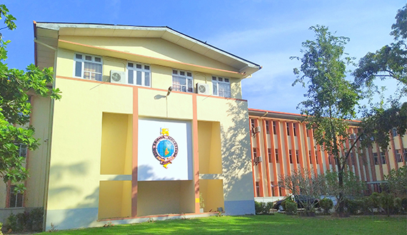
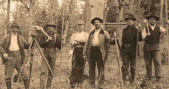
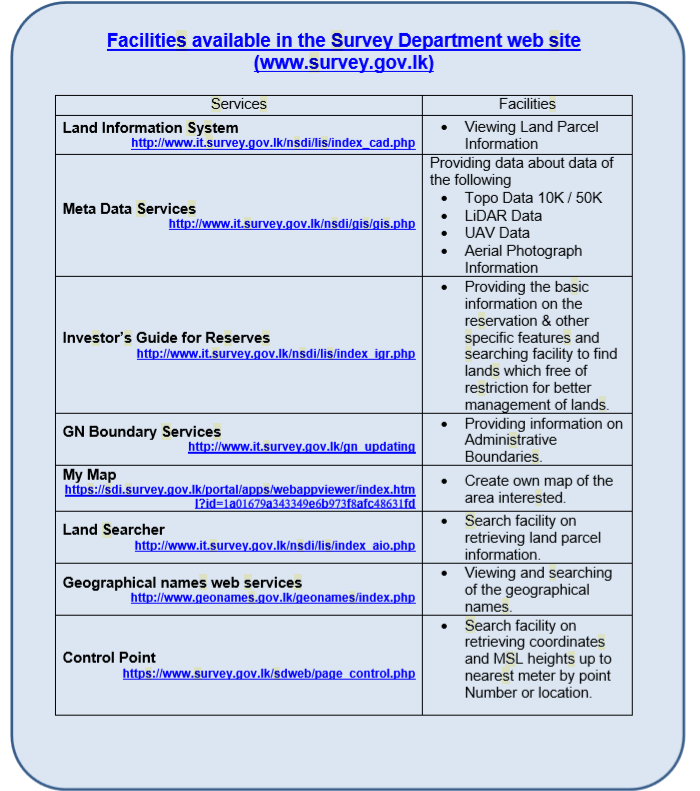
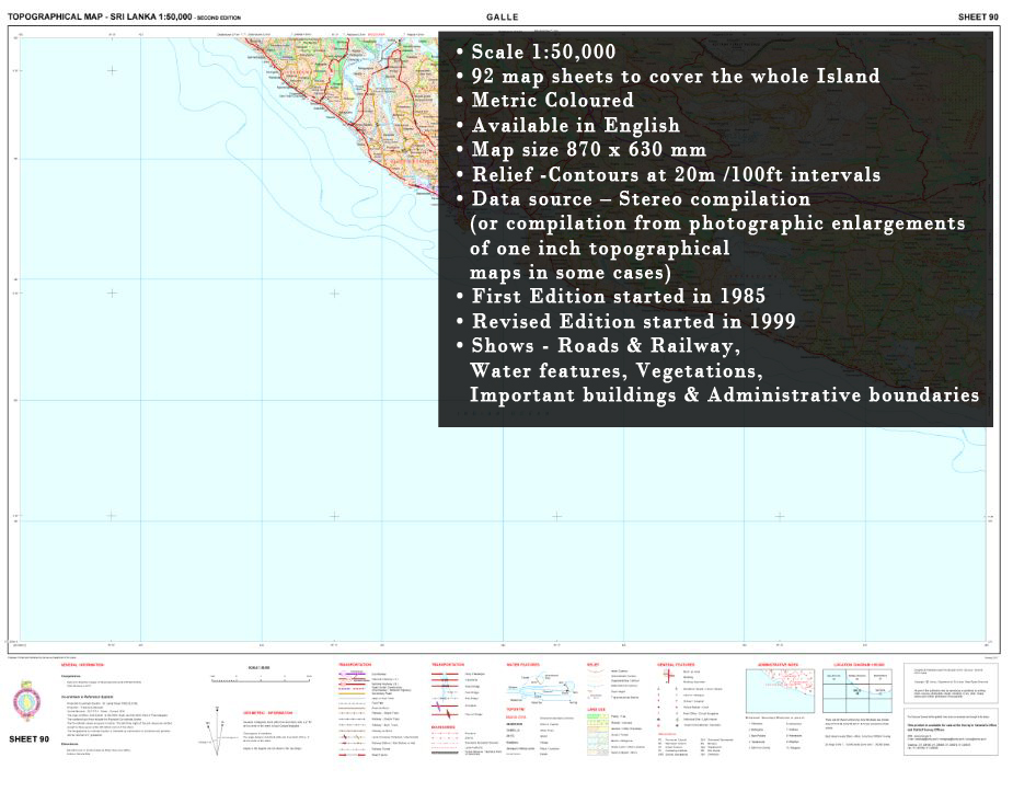
As the oldest Government Department of Sri Lanka, established on 2nd August 1800, the Sri Lanka Survey Department (SLSD) is the National Surveying & Mapping Organization pioneering the fields such as Land Surveying,Mapping, Satellite Remote Sensing (RS),Global Positioning System(GPS),Geographical Information Systems (GIS), Land Information Systems (LIS), Airborne Remote Sensing and Photogrammetric activities in Sri Lanka.Those fields were become more IT contributed fields today as the fast development of ICT technology related to those fields, the department drive towards new direct to increase it's efficiency
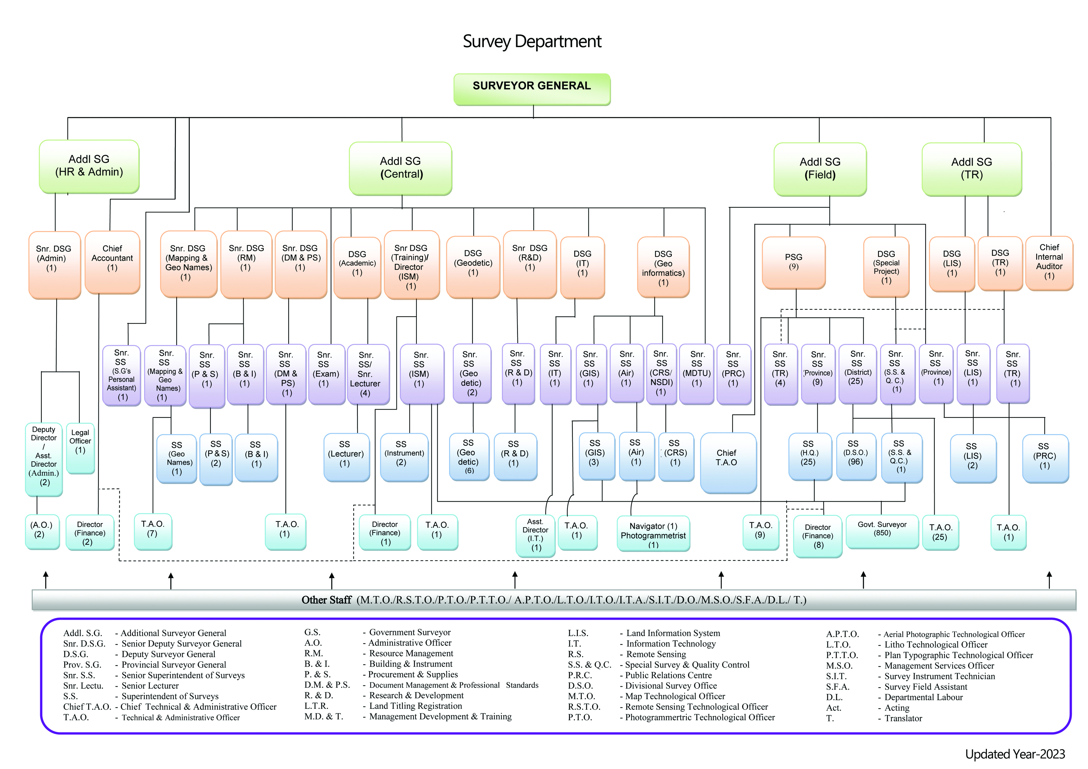
The recently established two branches, namely Geo Names (Geographical names) and NSDI (National Spatial Data Infrastructure) play a significant role to share the land related information cooperating with other interested organizations in the country.
Read More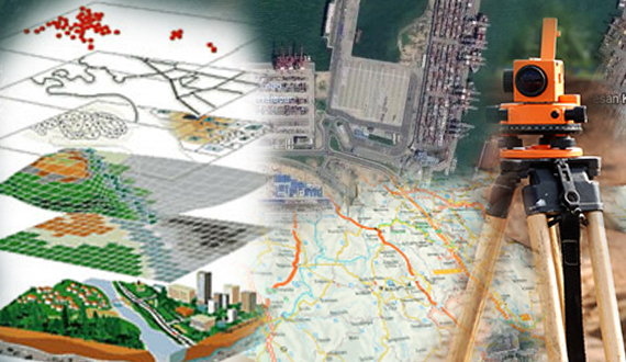


